City officials have announced that the Colby Fire Impact Area status has been raised to yellow Sunday afternoon.
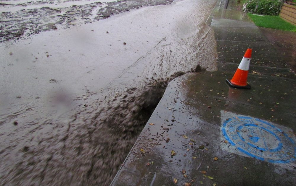
Forecasters expect rain for much of the week, including the potential for high-intensity rainfall and mudflows in recent burn areas.
Rain could arrive as early as Sunday night, with rain amounts between one-quarter of an inch to three-quarters of an inch and linger into Monday.
By Tuesday, a second storm could bring one to two inches of rain for the coastal and valley areas. The foothills and mountains could see as much as two to four inches of rain. Flash flooding and debris flows are possible for recent burn areas, including the Colby Fire Burn Area, according to the National Weather Service.
Much of the same threat from storm two will linger from Wednesday through Friday, bringing with it potential heavy, brief downpours, isolated thunderstorms, flash flooding and urban roadway flooding.
A yellow status means:
No evacuation orders in effect.
Rain-related parking restrictions in effect.
Residents directed to remove vehicles, trash bins and other obstructions from streets and/or travel lanes as they will be subject to tow or removal by authorities.
No restricted entry to impact area/potentially impacted areas.
 A yellow status means:
- No evacuation orders in effect.
- Rain-related parking restrictions in effect.
- Residents directed to remove vehicles, trash bins and other obstructions from streets and/or travel lanes as they will be subject to tow or removal by authorities.
- No restricted entry to impact area/potentially impacted areas.