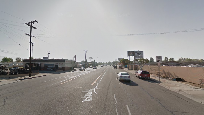
Groundwork continues Wednesday on longterm planning for the revitalization of the Arrow Highway Corridor in Glendora.
Steering committee members for the Arrow Highway Specific Plan will continue discussion on revitalizing development standards along the east-west thoroughfare with a scheduled meeting in the Crowther Teen Family Center, 241 S. Dawson Ave. at 7 p.m.
Meetings are open to the public.
Steering committee members will share photos of corridors in other locations that each member would love to see emulated in Glendora. The committee will also determine a date for a future bus tour of the Arrow Highway Corridor.
The steering committee held two meetings previously, with the most recent discussion on September 23 held to share ideas and concerns for the corridor.
Some of the ideas generated during an exercise session included:
- Creating a green trail along the Big Dalton Wash along Arrow Highway
- Transforming the vacant Wonder Bread building into a community center with bridge connections to the Basha Market site
- Establishing parking restrictions to prevent overnight RV parking
- Creating a bike path along Arrow Highway
- Creation of a green space on the vacant lot near Weinerschnitzel
The goal of the Arrow Highway Specific Plan is to provide policy to revitalize the area between the east and west boundaries of the city along Arrow Highway north of the north curb line. Enhancing economic development with a community-driven planning effort was identified as a goal in the city’s Strategic Plan, City Staff said.
City officials envision a “revitalized corridor serving the community and region with a variety of land uses set in an attractive environment that creates a warm and inviting southern gateway to the City of Glendora.”
The firm, MIG, was awarded a contract for $321,097 in March to prepare a Specific Plan to transform and revitalize Glendora’s stretch of the Arrow Highway Corridor by providing policy for uses that will be responsive to market forces, while supporting economic development and livability goals.
http://www.migcom.com/
Development of the Specific Plan was given a 12-to-15-month window for completion.
The initial idea to transform the Arrow Highway Corridor went back to 2007 when Azusa, Glendora, Covina, Baldwin Park, Irwindale and Los Angeles County officials developed the Arrow Highway Corridor Report with funding from the Southern California Association of Governments.
The report sought to improve the Arrow Highway Corridor by establishing land use guidelines, in addition to economic, design and implementation strategies while increasing the connection between land use and transportation.
A Joint Powers Authority formed between the mentioned cities never came to fruition when Redevelopment Agencies were dissolved in 2012.